A bitterly cold air mass will settle over much of the central and eastern part of the country over the next several days. Well below normal temperatures and cold wind chills will be common, according to the National Weather Service (NWS).
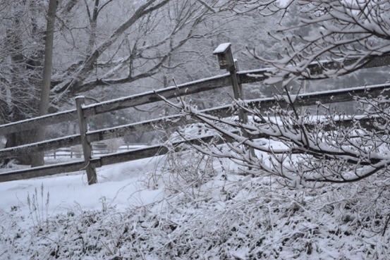
Though temperatures will be turning colder over the next two days, the worst of the frigid air will occur on Saturday and Sunday. It will be exacerbated by extremely cold wind chills, creating a threat to people, pets and property, emergency officials said.
For those who haven’t seen enough white stuff, scattered snow showers are possible for Wednesday, Feb. 10, mainly from 10 p.m. to 5 a.m. with less than a half-inch accumulation expected. By Thursday, Feb. 11, the high temperature is not expected to rise above the mid-20s with a low of 12 and a west wind of 13 to 18 mph.
On Friday, a high of 27 is predicted with winds subsiding to 8 to 15 mph, a low of 16, and a 30 percent chance of snow showers after 8 p.m. The snow showers will continue into Saturday, Feb. 13, when the high temperature is expected to be 17, and the low will dip below zero.
The bitter cold intensifies on Sunday, Feb. 14, with a high of 13 and a low of 8. Monday could bring more snow. Stay tuned.
 (1 votes, average: 5.00 out of 5)

Comments